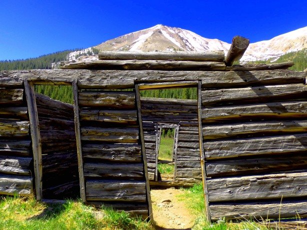
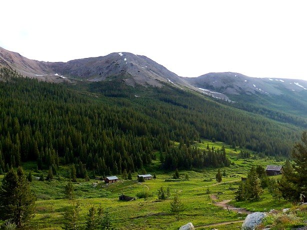
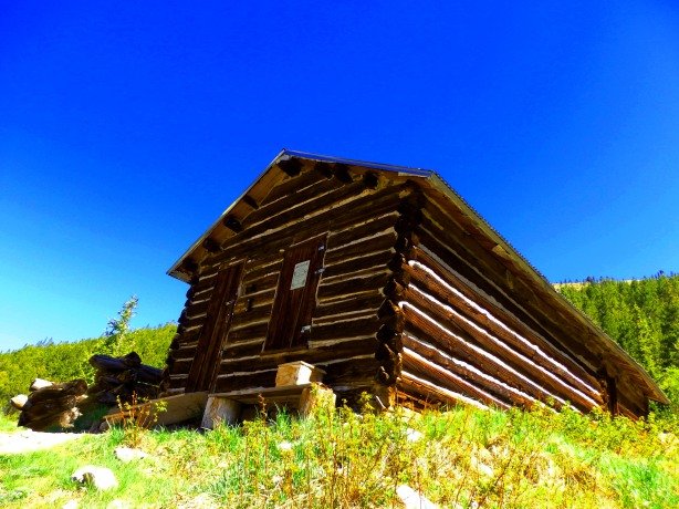
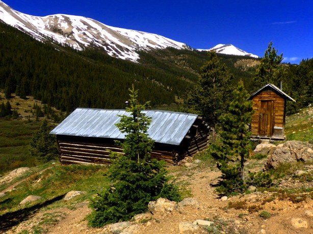
Independence, Colorado is a well-preserved ghost town dating to 1879, located just below timberline on the western slope of Independence Pass between Twin Lakes and Aspen on Highway 82.


Indpendence was named following the discovery of lode gold on July 4, 1879, it also went by the name Chipeta, in honor of Ute Chief Ouray’s wife, for a short time before the townsfolk settled on Independence.


At the height of its boom Independence was home to around 1,500 people, home to 40 businesses, as well as three post offices.


Life in the town, located at 11,000 feet elevation, was difficult, and winters were extreme. As the lode gold played out Independence’s population plummeted, by 1890 there were less than 100 residents.

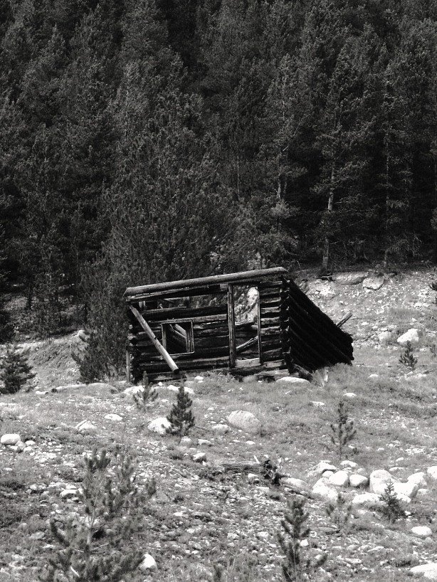
In 1899 snows were so heavy that the last 75 residents of the town were cutoff from the supply centers of Aspen and Twin Lakes, and were on the verge of starvation. The remnant population of Independence decided theoir only chance for survival was to flee towards Aspen. The snowed-in inhabitants stripped boards from the remaining structures in town and built skis and sleds out of them for their trek to Aspen,which all 75 residents successfully made.


Since 1899 only a few prospectors and hermits have called Independence home.Today, the town is totally abandoned, preserved as a historical park. Visitors can park in a small parking lot just below the summit of Independence Pass, and take a short hike down into the townsite. a Forest Service caretaker is sometimes present at the site.


Abanoned Western Colorado- Click Here to Order!
Coming Soon- August 24, 2020- Abandoned Southern Colordo- Pre-Order Now!

Coming Soon- September 28, 2020- Abandoned Southern Colorado- Pre-Order Here!

Colorado Ghost Town Guide Book-The High Rockies- Order Here!
Colorado Ghost Town Guide Book- The Foothills Gold Belt Region- Order Here!

