Day #22 feautures Holland, Colorado
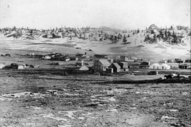
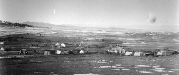
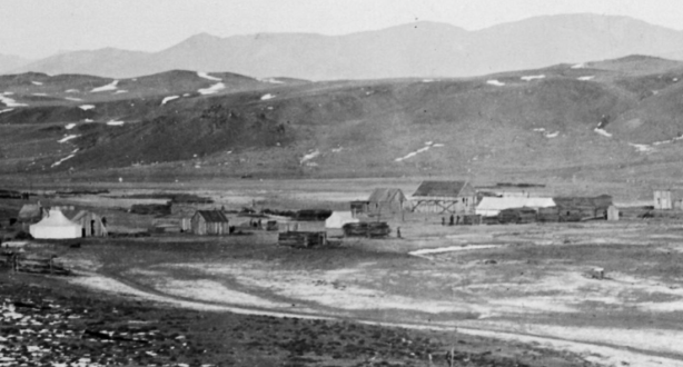
Holland, Colorado dates to 1874 when a smelter was built at the site to handle the silver, gold, and iron ores being extracted in the Mosquito Range a short distance to the west. Two theories exist on how the town was named- One claims it was settled by Dutch immigrants from Pennsylvania who named the town “Holland”, but the other, more plausible story is that the smelter was built by two brothers Park and Dwight Holland, and the tiny settlement was named after them.
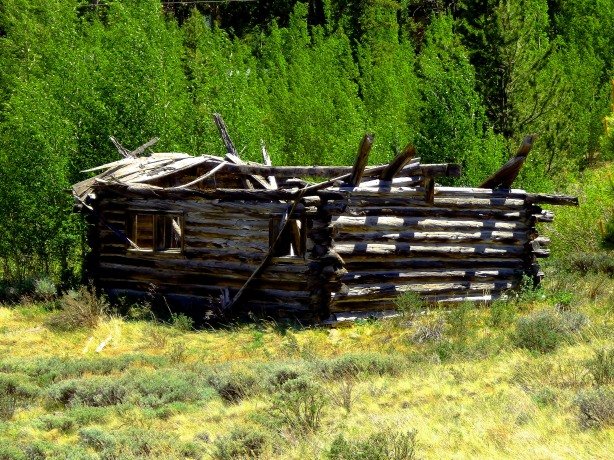
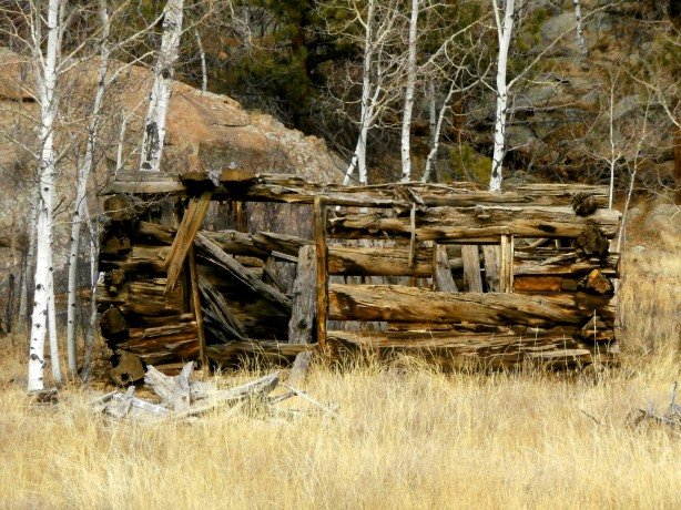
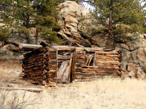
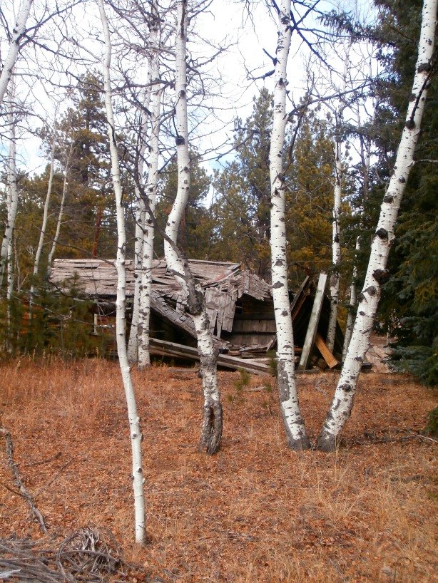
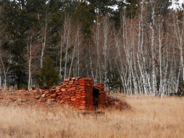
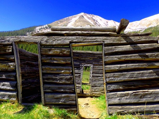
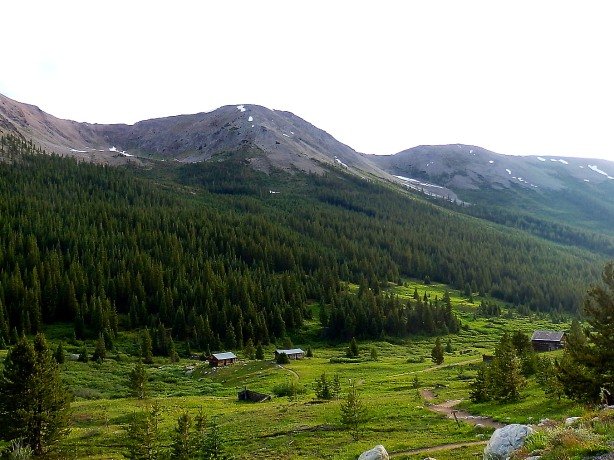
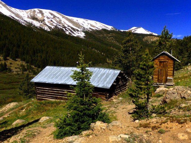
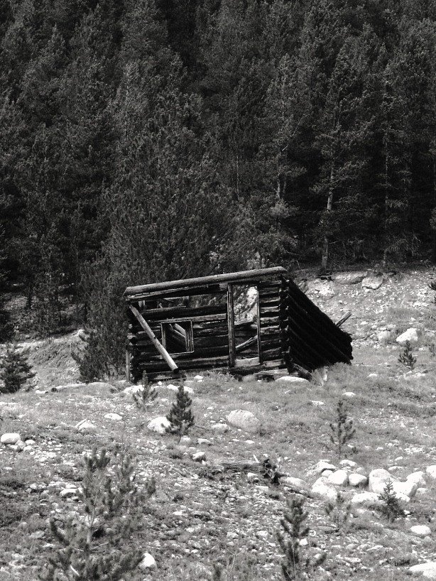
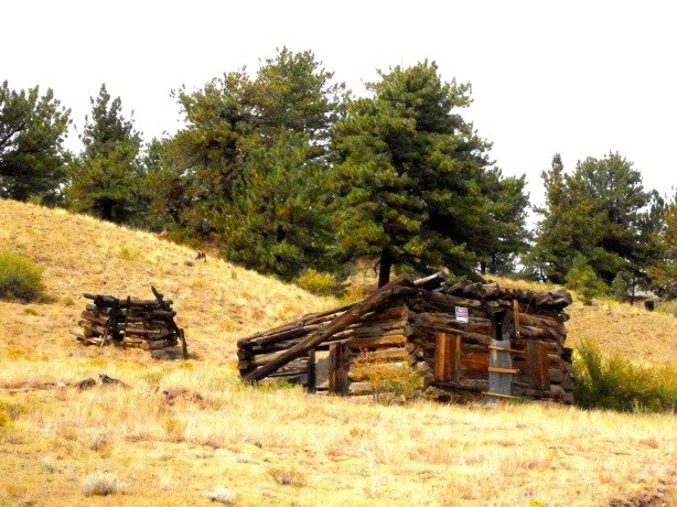
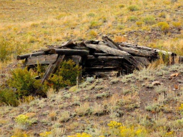
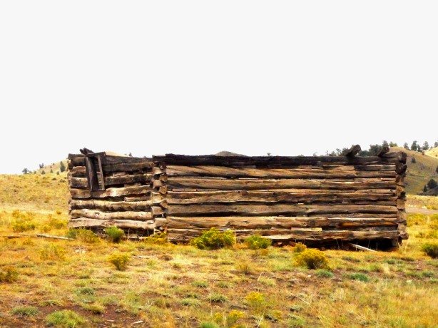
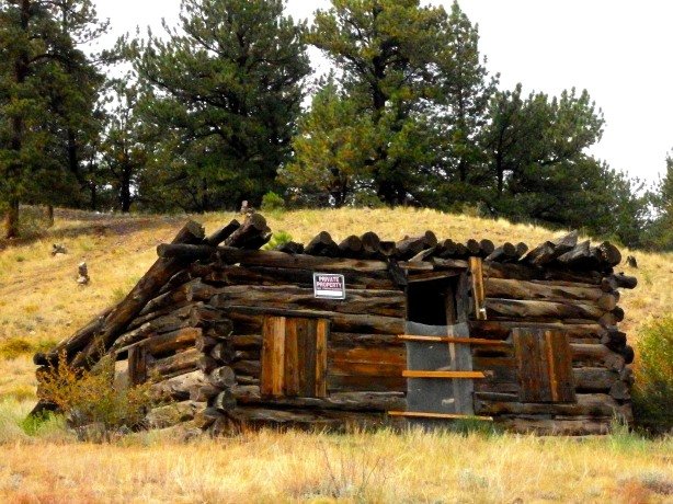
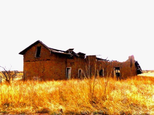
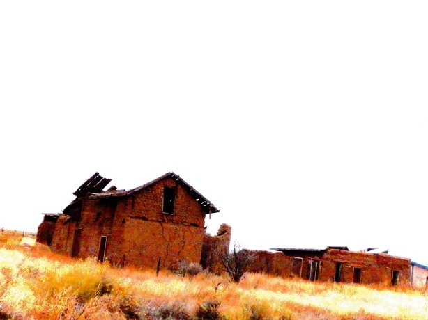
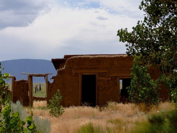
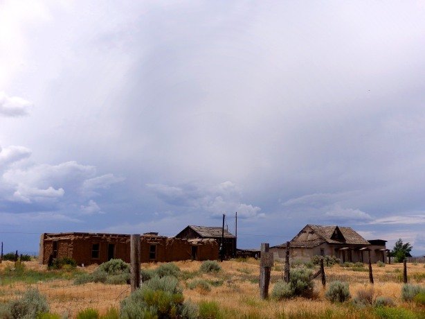
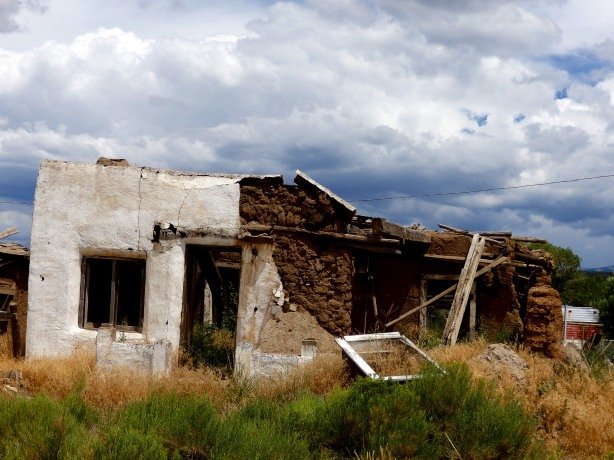
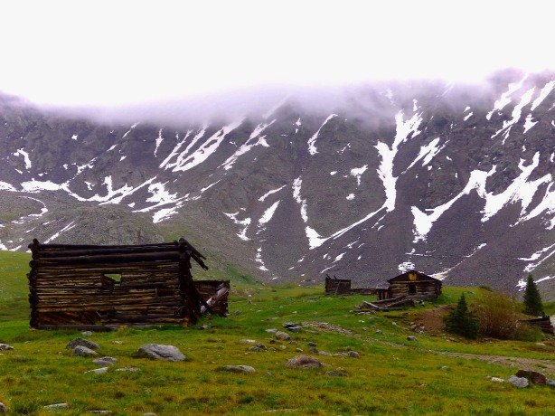
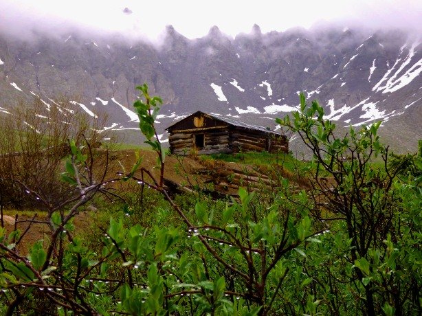
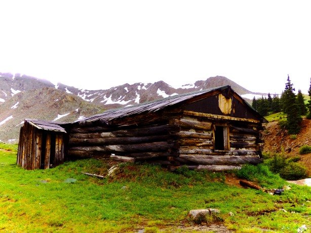
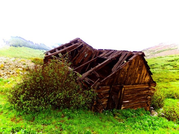
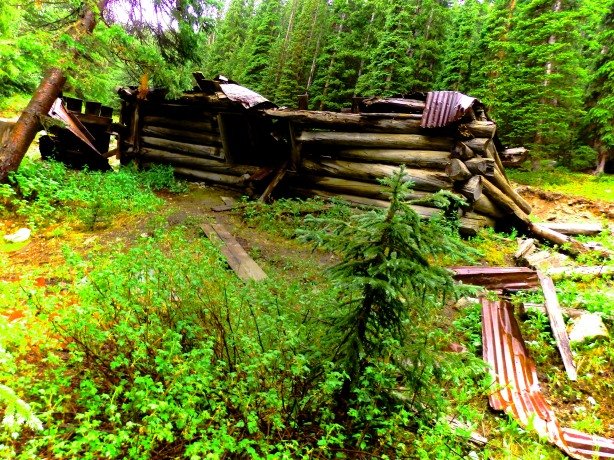
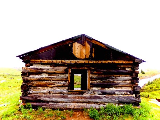
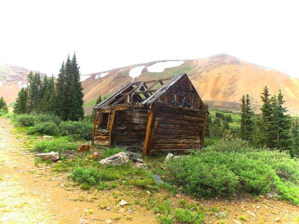
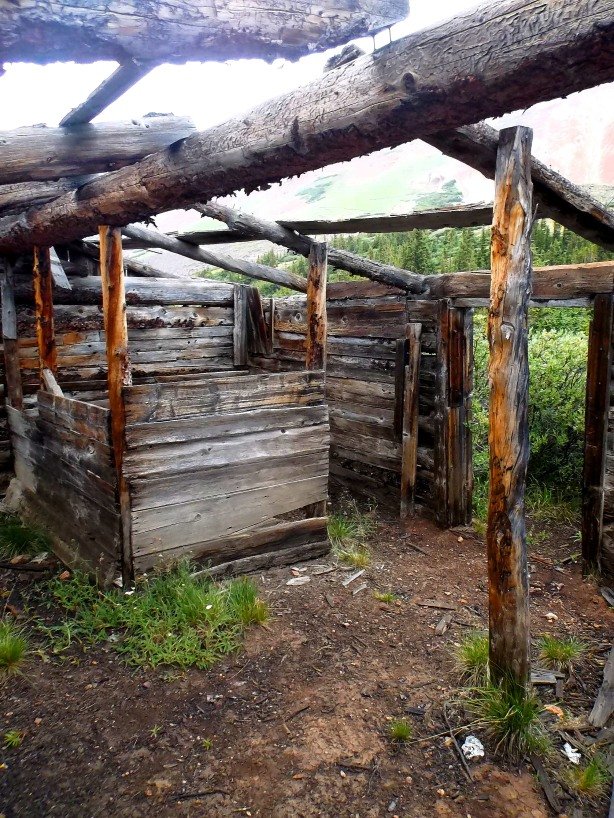
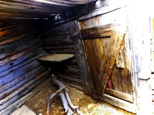
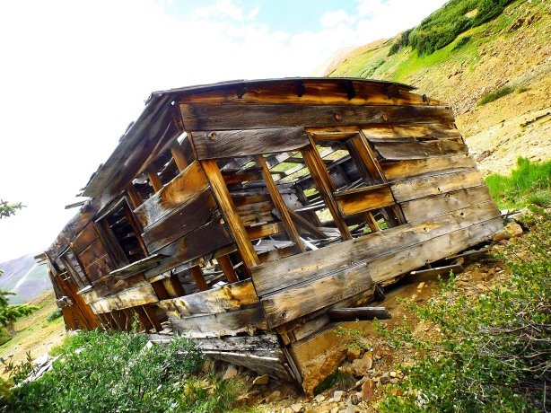
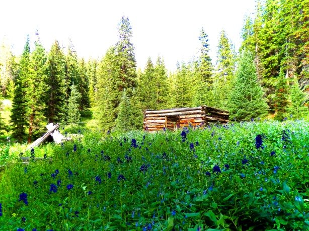
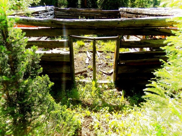
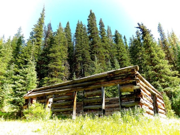
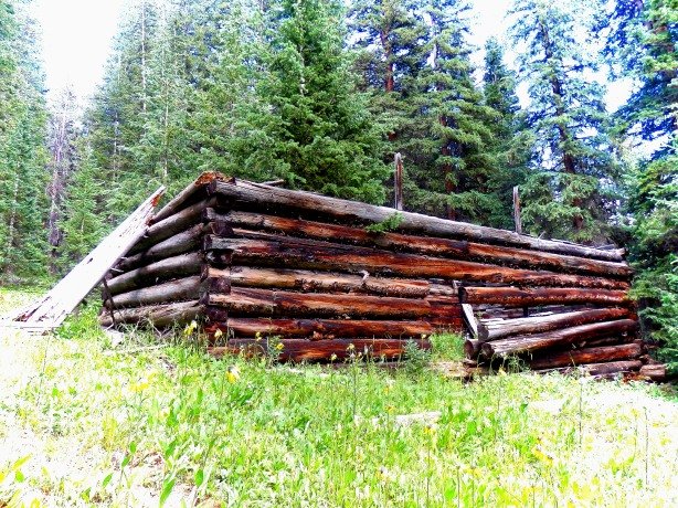
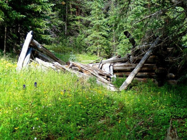
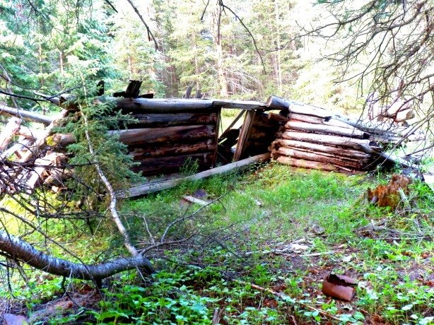
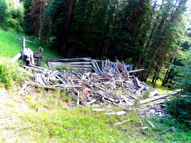
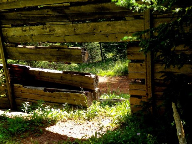
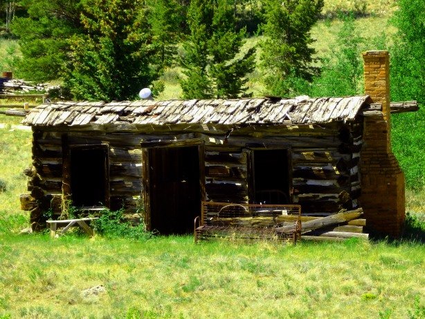
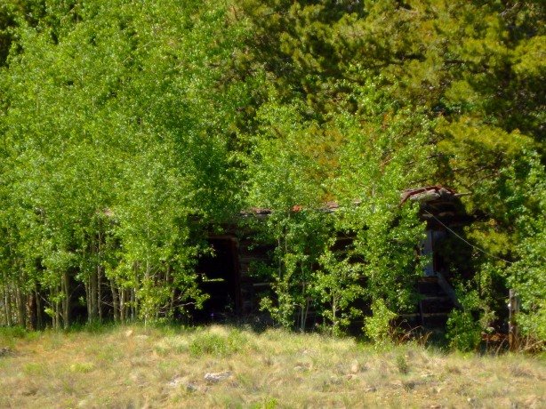
Several log cabins were built in a small, circular, meadow around the smelter, and one large, luxurious, two-story home, said to belong to the smelter owners was built in a forested area just south of the main cluster of cabins, near the smelter. A Post Office was opened at Holland in February of 1874, but lasted less than one year, closing in December 1874. The smelter was a failure as well, and was sold at auction to pay off taxes only a year after its construction in 1875.
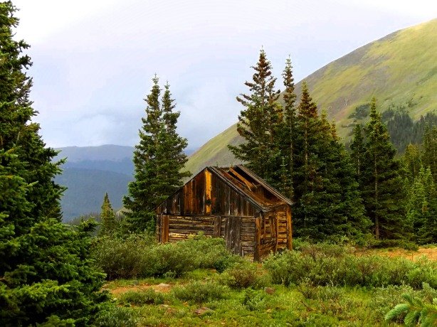
Holland remained occupied until around 1890, the inhabitants working in nearby mines, or in the surrounding towns of Alma, Alma Junction, and Park City. In the mid-20th Century Holland, like many Colorado ghost towns, was “rediscovered” and some of the cabins were restored for seasonal use, and newer homes and cabin were built nearby.
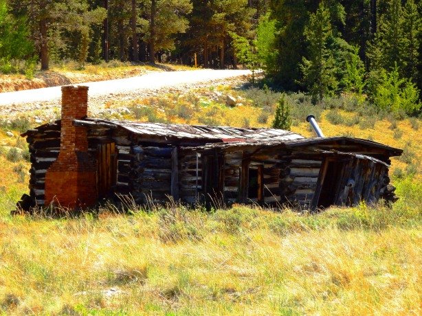
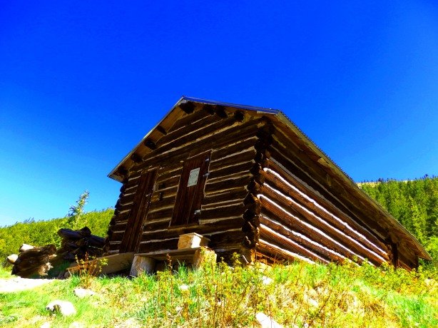
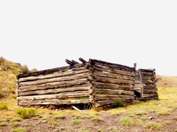
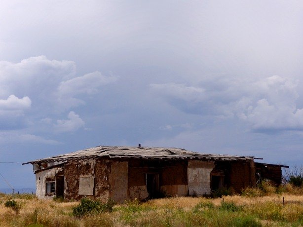
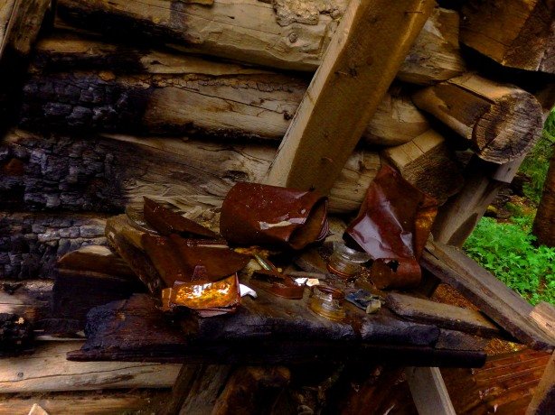
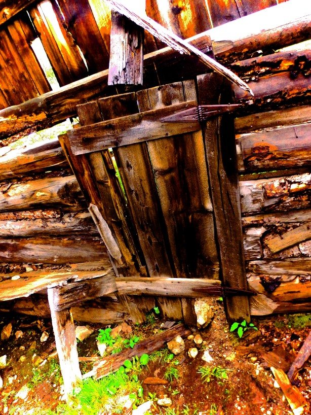
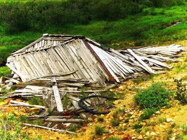
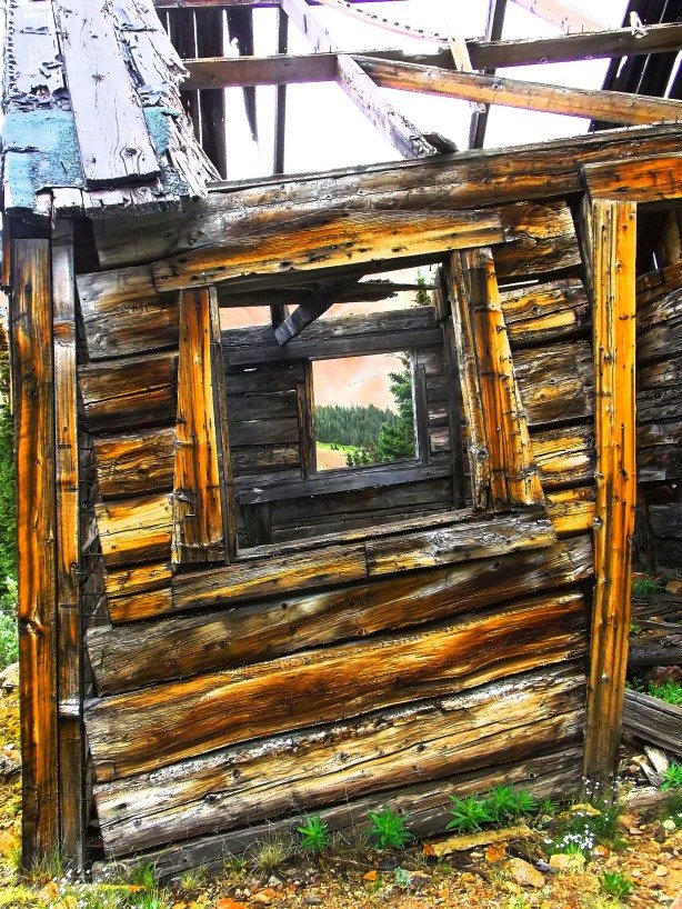
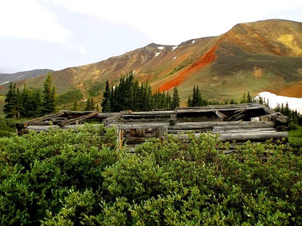
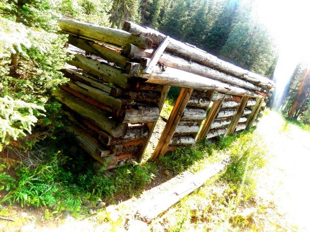
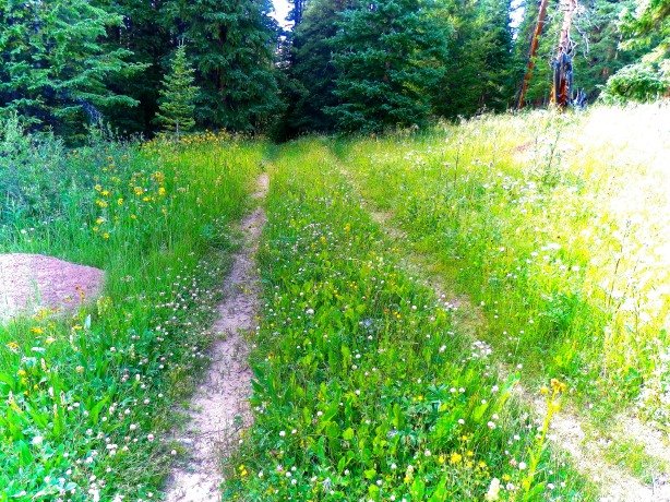
Today around six cabins remain at Holland, some buried deep in the trees require a keen eye to spot. Near the smelter site the brick chimney of the Holland Brothers house remains, obscured by pine trees, but the rest of the house is long gone. An old stage barn which may date to Holland’s prime can be seen on the northern end of the town site, next to a newer home on private property. All of the Holland site is privately owned and accordingly posted, but can be viewed from the public road.
Thanks for visiting my blog! If you enjoyed this, please give it a “share” on your social media pages! Thanks Again for Stopping By!
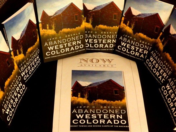
Check Out My Book- Order Here!
COMING SOON!

Colorado Ghost Town Guide- The Foothills Region

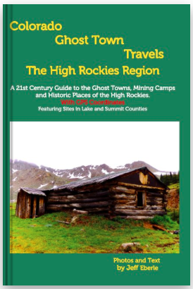
Colorado Ghost Town Guide- The High Rockies
Like this:
Like Loading...