A little traveled stretch of two-lane blacktop known as Highway 350, which runs 70 miles diagonally SW-NE, links La Junta, Colorado with Trinidad, Colorado. A trip down Highway 350 brings on an overwhelming feeling of being totally alone in a desloate land. The words lost, forlorn, and forgotten come to mind as you pass through a succession of places that once “were” but are no longer. Places you’ll still find on a map like Timpas, Thatcher, Earl, Tyrone, Model, Bloom and Delhi…But you won’t find much but when you get there but a few scattered remnants of yesterday when times were better, and maybe a pickup truck driven by one of the handful of ranchers who remain in the vicinity. When the sprawl, stress, and current insanity of Colorado’s major population centers make it seem like the state is overpopulated, a jaunt down 350 reminds us of how truly huge Colorado is. Most of the 70 mile length of Highway 350 feels as though you are passing through a post-apocalyptic world, which has always led me to refer to 350 as “Colorado’s Lost Highway.”
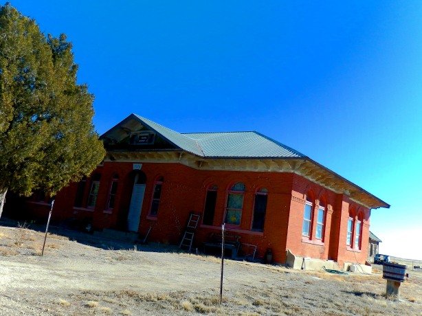
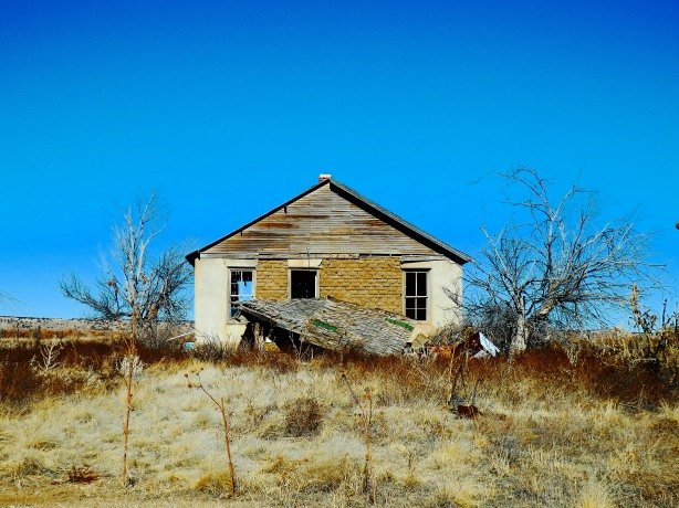
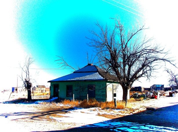
The old schoolhouse in Timpas now serves as a private residence.

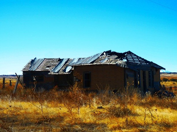
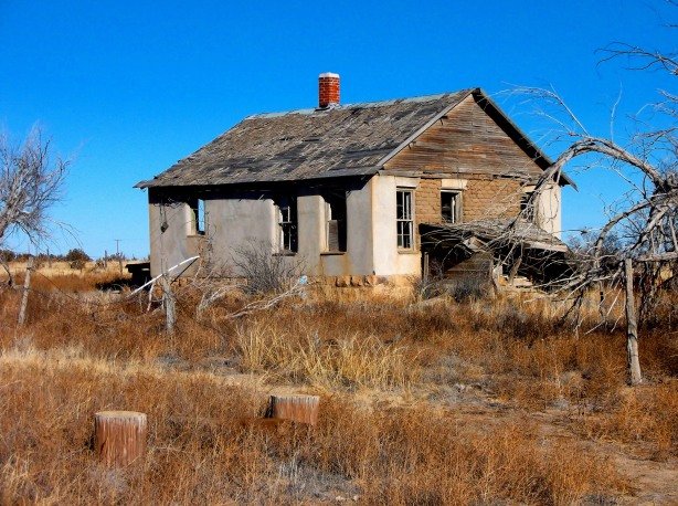
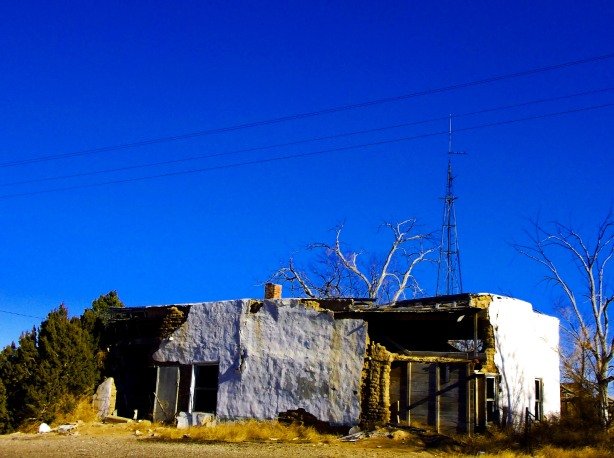
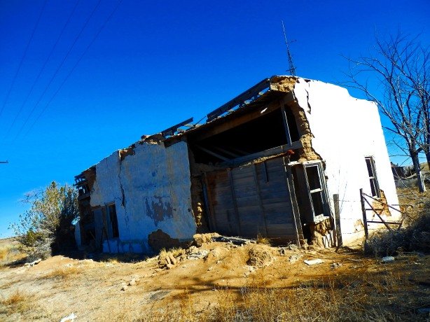
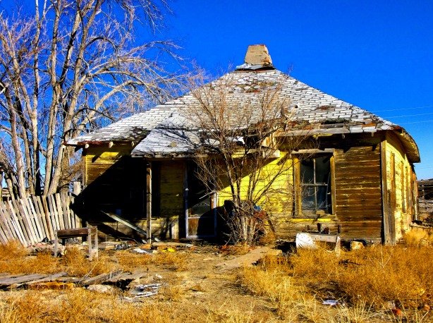
Remains of a home in Timpas.
Timpas, Colorado
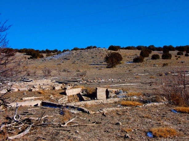
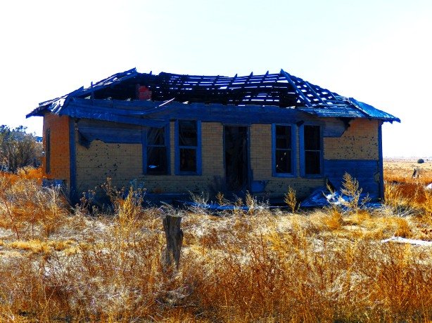
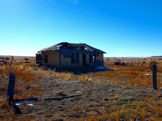
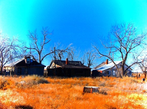
The town of Bloom is now just a field of debris and foundations.

Bloom, Colorado

Delhi, Colorado
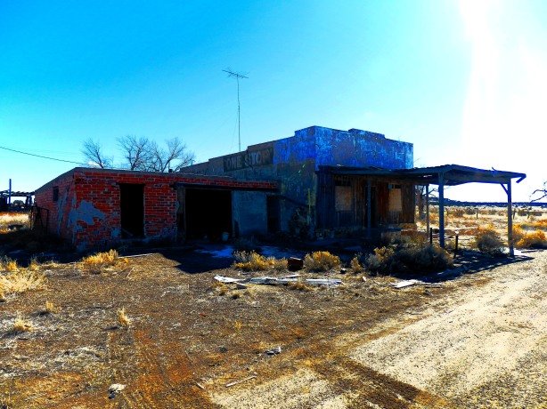
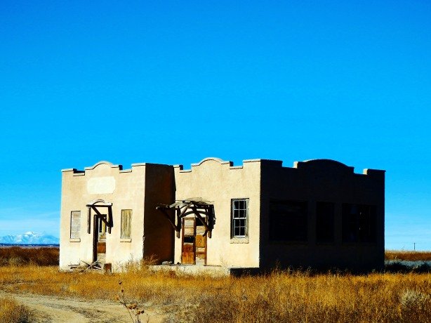
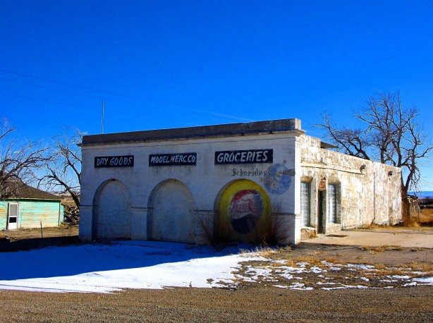
The Delhi “One Stop” General Store

Delhi
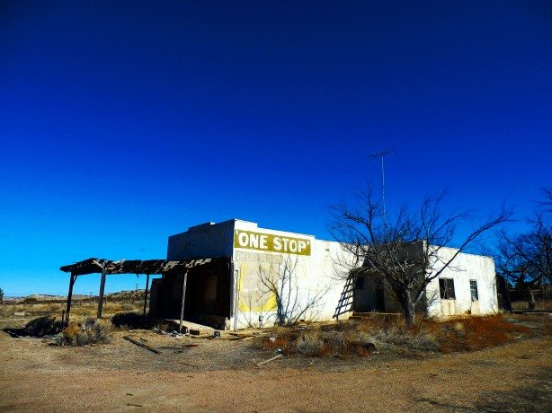
Delhi “One Stop”
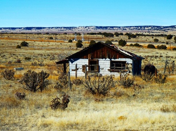
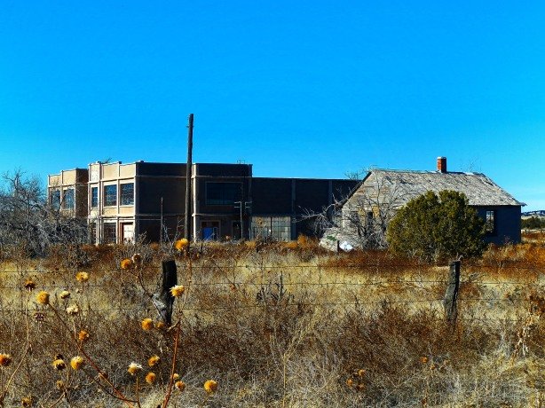
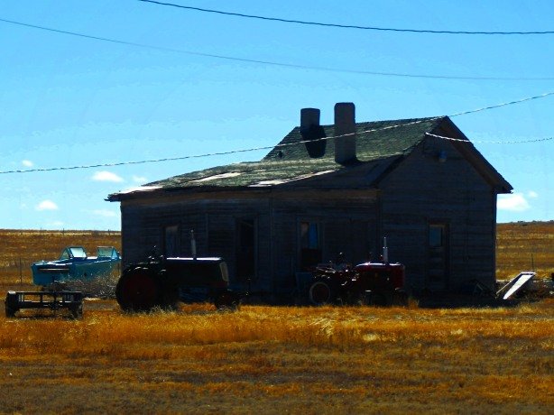
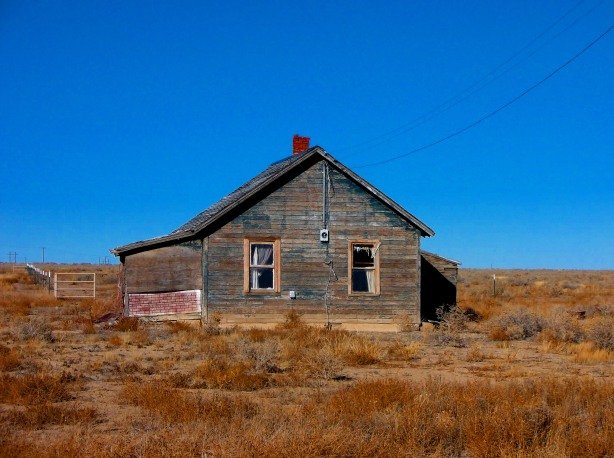
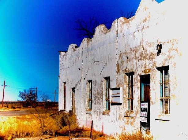
Thatcher, Colorado from Highway 350
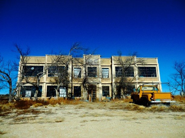
School at Thatcher
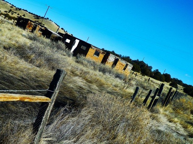
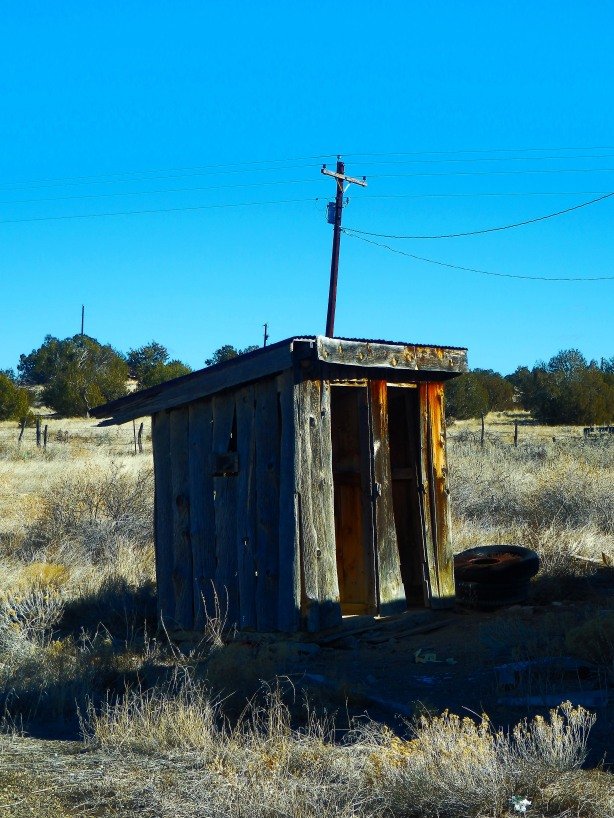
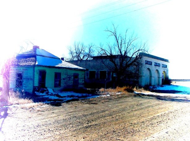
Tyrone, Colorado
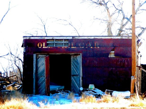
Old Radio Station along Highway 350
Grocery store at Model, Colorado- It was being renovated the last time I passed by.
Model, Colorado
Model, Colorado
Storefront in Model
One of the many mattresses that inhabit Model
Enter a caption

Enter a caption

Enter a caption
The residential district of Model
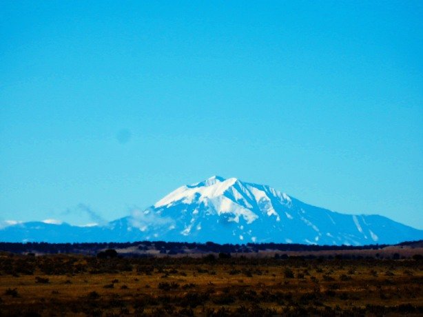
As you near the end of Highway 350 heading southwest towards Trinidad the Spanish Peaks come into view
HOPE YOU ENJOYED THIS!
A SHARE GOES A LONG WAY!
Abandoned Northern Colorado Release 8-24-2020- Pre-Order Here!

Abandoned Southern Colorado- Coming September 2020!
CHECK OUT MY OTHER PHOTO BLOGS BELOW!
Photo Blog: 2016 and 2017 Central City Hot Rod Hill Climb
25 Abandoned Buildings In Colorado You Must See Before They Are Gone
25 (More) Abandoned Buildings in Colorado You Must See Before They Are Gone
Photo Blog: Coal Towns of Colorado- Ghosts of the Southern Foothills
25 Forgotten Cemeteries and Burial Plots of Colorado
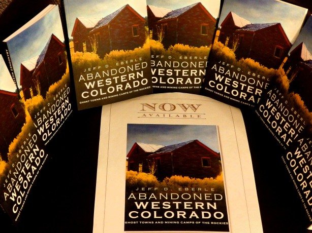
BOOK: The Gray Ghosts of Colorado only $19.99!

[…] Colorado’s Los… on “The Gray Ghosts of Colo… […]
[…] Colorado’s Lost Highway- A Photo Voyage Down Highway 350 From La Junta to Trinidad […]
Yes, it’s easy to get lost since the cell phone service is limited. Very cool to talk to old time residents that “went to high school in Thatcher”, or shopped at the One Stop in Delhi.
The “towns” are about 15 miles apart because that’s about the distance one could travel in a day by wagon. Also called “Whistle stops” because people could flag down the railroad to catch a ride. (I think) It also follows the Santa Fe Trail.
Local resident of Houghton (between Delhi and Thatcher)
[…] Colorado’s Lost Highway- A Photo Voyage Down Highway 350 From La Junta to Trinidad […]
I love this. While it may seem desolate and middle of nowhere that is/was somewhere for our family.
My grandmother traveled to that area in a covered wagon and they settled in Bloom. Dad ranched there for years so Hwy 350 is home to a lot of memories for me. …. in the pick up and on a horse….and then there were the Timpas picnics with my grandma and folks who held onto their past. It seems like a lifetime ago but it is permanently etched in my brain. That land has a beauty all its own.❤️
Photo in Tyrone was the old school house where my grand parents went to school. Model district 3 house photo is great residents are on my fathers land and are starting to fall down. Great article you might also enjoy a trip from Trinidad to Kim and Branson with only abandoned houses the dot the past and also my family history.
[…] Colorado’s Lost Highway- A Photo Voyage Down Highway 350 From La Junta to Trinidad […]
[…] Colorado’s Lost Highway- A Photo Voyage Down Highway 350 From La Junta to Trinidad […]
Thanks. It’s Where I grew up. My grandpa used to live on what is now Pinon Canyon Maneuver Site. Every time I come back, I write to Fort Carson/PCMS and get permission to go visit.
Paul is my nephew ^^ and my dad and I used to stop in Delhi for a soda out of one of those machines that you reached into from the top. Usually it was a Nehi Orange or strawberry. The man who used to run or own the place told me that the town of Bloom was haunted. My mother was born and raised in Earl, CO when the area was big in mining and my ancestors immigrated there from Northern New Mexico. Boy these pictures make me really miss my dad.
[…] Colorado’s Lost Highway- A Photo Voyage Down Highway 350 From La Junta to Trinidad […]
This is an amazing collection of photos. My husband grew up at Delhi Co. Went to school in Thatcher when the one in Delhi closed. The ranch is still in the family and runs about 350 mama cows . Quite an operation! Thanks for sharing, Lynda Hall.
Great photos and memories, grew up in Delhi, went to one room school for eight years. Father worked for railroad, lived in house north of Delhi store across the railway tracks. Still have photo of Charlie and Bertha Shaeffer, owned the Delhi Store. Grew up with The Halls and railroad families and other ranchers in the area. Thanks for photos and memories.
That place is scary AF at night, in the Winter, even on a nice day!! Will never, ever take that road again if we get to go to AZ again.~
I wrote a song inspired by this stretch of road.
Derek,
Great song! Thanks for sharing that.
Cheers, Jeff
[…] Colorado’s Lost Highway- A Photo Voyage Down Highway 350 From La Junta to Trinidad […]