Abandoned Northern Colorado: Ghosts of the Great High Plains is a collection of photographs taking you on a tour of Colorado’s Northern High Plains region. Author and photographer Jeff Eberle spent much of the last decade traveling the back roads and 4 x 4 trails of Colorado in an effort to capture a few final images of the state’s rapidly vanishing past. Covered in this book are the areas of Colorado north of the Arkansas River and east of the Rocky Mountains. Inside you will find images of the ghost towns, dormant grain elevators, forgotten cemeteries, and abandoned homesteads of Colorado’s prairie. The author hopes to help raise awareness and public interest in the preservation and protection of Colorado’s historic sites and structures. What one might see as merely an old, rusty eyesore, another sees as an aged beauty who stood silent witness to the hard work and struggle that gave birth to the Colorado we know and love today.
Available through the following links (click to order)-
My last photo blog about the ghost town of Aroya, Colorado led to a number of people mentioning, relating memories, and asking about Wild Horse- Another small eastern plains town just a few miles down the road from Aroya.
Storm clouds and high winds welcomed me to Wild Horse in mid-October 2019. The only sign of life I found in town was a American flag flapping proudly and a car parked in front of the Post Office- the only remaining business in this tiny Cheyenne County town. The majority of the remaining buildings, seen here, at Wild Horse sit on the south side of Highway 287.
I visited Wild Horse on the same trip that I visited Aroya, and found a place, much like Aroya, that has seen its best days vanish in the rear view mirror. Wild Horse stills clings to life, though just barely, straddling Highway 287 in Cheyenne County, a little over two hours southeast of Denver.
These buildings sit on the north side of Highway 287 which runs straight through the center of Wild Horse. A school house built in 1912, and the Post Office are adjacent to these structures.
Wild Horse is a cluster of old storefronts and shops and residential dwellings. With exception of the Post Office, every business and service in Wild Horse are but a memory. A quick drive up and down the streets of Wild Horse reveal that maybe four or five people still live there, but during my visit on a blustery October afternoon, I saw no one stirring.
The Antelope Bar at Wild Horse.
Another Shot of the Antelope Bar.
Wild Horse was originally an outpost for the U.S. Cavalry in the late 1860s, named for a pack of wild horses a cavalry detachment guarding railroad surveyors noticed at a water hole in the area. The Kansas-Pacific Railroad set up a section house at Wild Horse to house workers while tracks were laid from Kit Carson to Denver.
An old storefront in Wild Horse.
It is rumored that this building was the Wild Horse Dance Hall in more prosperous times.
Wild Horse boomed in the early-1900s, having a number of businesses, including a lumber yard, three saloons, a pool hall, a barber shop, hardware store, the two story stone Albany Hotel, and even a newspaper “The Wild Horse Times.” Sheep and cattle ranching, as well farming, and the railroad accounted for the majority of commerce centered at Wild Horse.
An old postcard shows an image of Wild Horse during its peak years in the early-1900s.
A huge fire in 1917, which started in one of the town’s two creameries when a wood stove toppled off its shoring burned down most of the business district, spelling the beginning of the end for Wild Horse. The depression coupled with the dust bowl epoch of the 1930s further weakened what remained of Wild Horse, then the railroad went under. Today, one hundred years on from the great fire, Wild Horse teeters on the very edge of existence.
An image taken shortly after the great fire of 1917 which obliterated much of Wild Horse.
THANKS FOR VISITING MY BLOG!
IF YOU ENJOYED THIS BLOG PLEASE SHARE IT WITH YOUR FRIENDS AND CHECK OUT MY OTHER BLOGS! THANK YOU!
On the eastern plains of Colorado’s Cheyenne County a tiny ghost town is whipped by the relentless prairie winds. A cluster of abandoned buildings ranging from the picturesque schoolhouse, with its double-arched doorways (considered by some to be the most photogenic abandoned building in all of Colorado) to the collapsing William Smith General Merchandise store, to a handful of residential dwellings, trailers, and foundations mark the spot of Aroya.
William Smith’s General Merchandise Store
Fantastic wooden doors on the William Smith General Merchandise building.
Aroya got its start in 1866 when a Bohemian immigrant, and Civil War veteran, named Joseph O. Dostal came to Colorado to sell meat to hungry miners. Dostal picked a remote chunk of the plains 130 miles from Denver to establish his ranch. Though it has changed hands many times in the past 150 years, the ranch is still active, and still carries Dostal’s initials- The J.O.D. Ranch.
The J.O. Dostal Ranch Crew circa 1870s or 1880s
Around 1870 the Kansas-Pacific Railroad reached the area near Dostal’s ranch. A railroad construction camp grew and was named “Arroyo” being the Spanish term for “gulch.” As the tracks were being laid, the Kansas-Pacific sent trains to the end of the line at Arroyo, and stagecoaches would bring passengers 130 miles from Denver, a three day journey at the time, to what was now christened “Arroyo City” although it was not much more than a tent camp on the line.
A triple-engine Kansas-Pacific snow plowing team. The flat, treeless, and featureless expanses of the great high plains, coupled with high winds, and winter storms that butt up against the Rocky Mountains and double back over the plains make for enormous snowdrifts on the open prairie, some can reach 20 feet or more in depth! For a short time in the 1870s, Arroyo City was the terminus of the Kansas-Pacific.
As the tracks were laid further north and west, the terminus of the line also moved, and “Arroyo City” city faded into obscurity. Ranching and farming became the main profit making enterprises once the railroad construction boom had ended, and around the turn of the 20th Century, a small town with a general store, service station, lumber yard, hotel, and school sprang up about three miles from the old “Arroyo City” site. In honor of the old camp, this new town was named “Arroyo”, but the United States Post Office decided it should be called “Aroya” since there were already enough towns named “Arroyo” in the southwest.
No one calls this Aroya dwelling home but rattlesnakes these days.
This home marked the far northern end of Main Street in Aroya. A small cemetery which I was unaware of until later is apparently on a small rise just behind this house. If walls could talk…
The old schoolhouse, in which someone has situated an old deer mount in the window, was said to have held its last class sometime in the 1950s…or was it the 1960s? There is no one around who remembers. Aroya became nationally famous in 1970 when a reporter from the New York Times just happened to pass through, and wrote a full-page story with photos lamenting Aroya’s demise, and how the population had just been cut in half- From two residents to only one!
At first approach I thought I had a one-in-a-million shot of a big buck deer peering out of the schoolhouse window, then I realized it was a mount placed by someone with a sense of humor!
A fall storm rolls into Aroya. The hand-painted metal “No Trespassing” sign was a welcome change in a world full of bright neon orange/white/black plastic signs we so often encounter.
The double-arched doorways on each end of the Aroya schoolhouse are an architectural marvel.
Around 1980 the last permanent resident of Aroya, an eccentric artist named Red Moreland finally moved along to the great unknown. Some of his creations, made out of the many iron relics he found scattered around the town, can still be found among the sun-scorched, blonde prairie grass, shrubs, and debris scattered about the town. His most famous creation- The Aroya Lighthouse, which was a welcome beacon to weary travelers on the “…endless waves of grain…” in the old days was moved to the Cheyenne County Museum in Kit Carson, Colorado.
Moreland’s Service Station and the Aroya Lighthouse decades ago.
Moreland’s Service Station. October 2019.
Red Moreland’s home. It was built on the foundation of the old Aroya Hotel, and Red lived here until he passed away around 40 years ago. Moreland was Aroya’s last permanent resident.
An Aroya house, consumed by trees and grasses. What appears to be a 1970s vintage Chevy Luv truck in red/white/blue paint looks like it was abandoned in the town after a joyride.
Aroya is a fun place to visit, if, for some reason you find yourself in this far-off seam of fabric in the quilt we call America, but beware- Aroya is a rattlesnake paradise, and ample evidence in the form of shed skins can be found everywhere in the town. A few squatters and shady drifters who “don’t want to be found” call Aroya home from time-to-time, and they should be treated with the same caution and distance as the rattlesnakes. Luckily when I visited on a cold October day, neither were present.
In this view you can see the impressive lineup of radio and TV antennas necessary for Red Moreland to keep in touch with the outside world from his remote hermitage on the plains.
The sandstone remnants of a long-forgotten Aroya business. An abandoned trailer house of more modern vintage was just behind this structure and had clearly been used by a squatter recently.
THANKS FOR VISITING!
IF YOU ENJOYED THIS BLOG PLEASE SHARE IT WITH YOUR FRIENDS! EASY TO USE SOCIAL MEDIA SHARE BUTTONS ARE LOCATED BELOW!
Just got home from another mini-vacation to Victor, Colorado and was once again impressed and amazed at all of the things I found that I had missed on previous trips. Missing little details is easy to do in a town that once had a population of 12,000 around 1900, which now has about 400 residents. Whatever you do, however, DO NOT call Victor a “ghost town” I made that mistake once and only once. A week’s worth of hate mail and subsequent explaining and apologizing, and I was back on in good graces with the locals!
Panoramic Painting of Victor circa 1900
Victor has always caused me mixed emotions- On one hand it heartbreaking to see so many empty store fronts and vacant properties, I imagine how beautiful and bustling this town must have been in its heyday, when it even boasted a fancy “San Francisco” style trolley line known as the “Victor Inter-Urban Railway.” On the other hand, I love Victor as it is, and would be devastated to see the gentrification that has destroyed so much of Colorado happen here- I want Victor to retain its character, and anymore in Colorado, “character” is too often bulldozed to make way for luxury condos and coffee shops for people with no ties to Colorado and no respect for the State’s history.
Victor in 1899, the building on the left is the Victor Hotel which still welcomes guests today
A huge amalgamation of abandoned, occupied, old and new (mostly old though) and a sense of a mining boom town suspended in time best describes Victor, Colorado, sister city of the more famous Cripple Creek, just six miles away around a mountain of mine tailings. Preservation efforts have been carried out or started on a number of the buildings around the town, and visitors can still stay in the historic Victor Hotel, comfortable, large rooms, with great views and giant arched windows are available for a very reasonable rate year-round. A couple of small cafes, The Side Door and The Mining Claim 1899, and a the Fortune Club Saloon (the Fortune Club also offers rooms) serve the needs of hungry and thirsty visitors as well as the locals, many of whom work at the nearby Newmont gold mine. A few antique and gift shops, a liquor store, and a tiny general store round out Victor’s business district. The most impressive building to be found in town (in my opinion) is the old Masonic Lodge, be sure not to miss it!
A view looking west down Victor Avenue, the Victor Hotel is the tallest building on the right. Several blocks of largely vacant storefronts radiate out, north and south, from Victor Avenue.
Part of the Victor business district, note the “Undertakers” advertisement
Masonic Lodge
A look downtown and you can imagine what it must have been like in 1900
One thing you will quickly notice about Victor are the stunning views of the rugged, snow-capped spires of the Sangre de Cristos Mountain to the southwest- The view of the Sangres can not be beat from the 4th floor rooms of the Victor Hotel.
View of the Sangre de Cristos Mountains from the 4th floor rooms of the Victor Hotel
Another aspect of Victor that first-time visitors may find unusual is the large amount of wildlife that freely roam the town, deer and foxes, unconcerned with the people and cars around them. And, almost as if trained, it seems the wildlife prefers to use the painted crosswalks in town when crossing the road- I have been entertained watching this numerous times! Just a reminder though, never ever, ever, feed the wildlife, they are still wild animals, no matter how tame they might appear. Human food harms wildlife, it also causes wildlife to associate humans with food, which is bad for both us and the animals, just don’t do it. Enjoy the critters from a distance and take only photos.
This well-behaved fox and its family are regular fixtures in downtown Victor
From my hotel room window above I watched this fox use the crosswalks every time it needed to cross the streets in town, take it slow driving through, there are lots of animals roaming town!
The deer in Victor have the same street smarts as their fox neighbors
Vintage advertising and forlorn, antique mining machinery can be found all over the town. Adding to Victor’s unique personality is the fact that mine shafts exist right in the middle of town! When you find a rich vein of ore while excavating the foundation for a building, you forget about the building and get into the mining business! One the east edge of town a colossal two-story red brick schoolhouse with an imposing flight of stairs leading to its front door dominates the view. Below the school is the “Gold Bowl” a football field built many decades ago- The entire project was paid for with gold ore excavated while leveling the playing field!
Vintage advertising abounds in the streets of Victor
A small fraction of the vintage mining equipment scattered about Victor
An old tractor
This beautiful old Buick watches over things from a ridge above town, deer tracks nearby
The old Colorado & Midland train station in Victor
North, east, south, and west of Victor’s business district are rows of Victorian era residences. Many occupied year-round, others occupied seasonally, and plenty abandoned and forlorn. You can take one look up and down the streets and sense what a beautiful town Victor was in its prime. The people here lived a good, comfortable life, before the mines went bust.
Trapped in time
Remarkable woodwork on this old beauty!
Withered beauty
If walls could talk
Craftsmanship which has weathered the harsh winds of time
Mine tailings in the middle of a row of homes
Once called “home” by a miner and his family
The old Texaco at the edge of town hasn’t plugged a flat or changed oil in many years
A doe deer inspects the “skinny” house on the east end of town
And a minute later….the buck deer arrived
Victor, Colorado, now only a shadow of its former glory is truly a gem to visit if you are a history buff or interested in the history of mining. Victor and Cripple Creek, Colorado were the heart of a massive gold-producing district from around 1895 to 1930s. Mining structures, debris, and abandoned and occupied homes and businesses dating to the boom years radiate out in all directions from Victor. Newmont Gold which still operates the sprawling mine nearby along with Teller County and various historic/preservation societies have teamed up to construct a series of walking paths that wind their way through many of the old mining areas, which give visitors an up close look at the structures and equipment used 100 years ago.
Miners at the Vindicator just north of Victor, today a foot path leads you to the ruins of the mill in he background of this photo, much, much more impressive in person!
The towering remains of the Vindicator north of Victor, a foot path I didn’t care to walk in the snow leads below for an awe-inspiring view of this enormous ghost structure
If you find yourself in the Colorado Springs or Canon City, Colorado area, be sure to plan a day trip to visit nearby Victor and soak up this town’s very unique atmosphere and wonderful sights!
At first glance it is hard to believe Goldfield, Colorado once boasted a population of over 3,500 residents when the nearby Portland Mine provided ample employment opportunities around 1900.
The Portland Mine at Goldfield in its prime around 1900
The ebb and flow of mining is a brutal life of boom and bust, in Goldfield, as in nearly every mining town and camp in the West, the ore played out that coupled with the Federal Government abandoning the gold standard, the town withered and faded away. Today, Goldfield still struggles to hang on, a handful of residents, some retired, some weekenders, some descendants of earlier miners, and a smattering of coyotes, deer, and foxes still occupy a number of homes in this boom and bust town.
Coyote
Goldfield resident
Abandoned home at Goldfield, coyote to the right
Newmont Gold is reworking the tailings piles from yesteryear nearby, as well as carrying out new large-scale mining operations which has also brought a few folks back to town, but for the most part, Goldfield is fragile, wind-blown remnant of a forgotten era. The splintered wood and cracked cornices, peeled paint, and shifting foundations stand today as silent witnesses of grander times in Goldfield. The highlight of the town in the City Hall and fire station, built in 1899, which stands guard over the town, its weathered and flaking yellow paint an ode the gold that once brought life to this great Colorado ghost town.
Preserved in a state of “arrested decay” in recent City Hall, built in 1899, looms over Goldfield
Another view of the combination City Hall and Fire Station
Goldfield’s residential streets are a combo of abandoned and occupied dwellings
A 100-year-old miner’s shack with the Newmont property in the distance, providing work for modern-day miners who rework the tailings piles of yesterday’s mines for microscopic gold which could not be harvested with the primitive techniques of the 19th Century. Newmont employs hundreds at decent wages, reworking the “waste rock” of 100 years ago.
A little elbow grease and we’d have a winner!
A seasonal home in Goldfield, boarded up for the winter
This beautiful old Ford and the house behind still have lots of promise!
Many years since a fire warmed the hearth of this Goldfield house
On the south end of Goldfield is the short-lived suburb of “Hollywood” which was swallowed by Goldfield’s expansion. Hollywood was actually a suburb of nearby Victor, about a mile away in the boom days. Hollywood was soon swallowed by Goldfield when the Portland Mine boomed.
One of Hollywood’s nicer homes
On the north end of Goldfield sits this impressive two-story, occupied until recent years as evinced by the satellite dish. This home is where the “suburbs” or “satellite camp” of Goldfield known both as “Indpendence” and “Hull City” was located. Just south lies the Vindicator Mine.
Travel pretty much anywhere in the western half of the United States and you’re sure to come across the iconic “false front” store. False front architecture is almost as synonymous with the Old West as the Colt Pistol and John Wayne- We see examples of the false front in nearly every vintage photo of the Old West, and any classic western film would be incomplete if it didn’t contain at least one false fronted store somewhere in the story.
But what is the reasoning behind this strange architectural style? There are several answers, and they are all based in practicality-
First, the false front was often added to impermanent structures such as large tents for stability. Tent colonies were commonplace in the early years of westward expansion and the gold rush era. People would flock to an area and the quickest, easiest and most affordable dwelling to put up was the tent. As prairie or mountain winds whipped, and the colder weather moved in, settlers would shore up the sides of the tent with logs, making somewhat of a “half-cabin.” Others, in many cases businesses being run out of tents, would add a false front with a formal door. This gave an impression of permanence, as well as providing additional security to the contents inside via the proper locking door on the front.
As time went on, and the tent colonies grew into permanent log, brick, and milled lumber towns and cities, the false front carried on- This time the false front served both as advertising space, and as a decorative facade. The large flat surface was perfect for painting the name of your hotel, saloon, or general store. The wealthier and more prosperous you were, the fancier and more ornate your false front would be, featuring time consuming scrollwork, cornices, and gingerbread trim. The false front soon became the status symbol of the Old West, and merchants and hoteliers would engage in spirited attempts to one-up each other, much like men do today with their pickup trucks.
Today, the false front hangs on across the West. Some retain their their glory, and for many others that glory has faded to a forlorn, splintered, black-brown-gray of rotted and neglected wood.
Jail at the abandoned coal town of Berwind, Colorado
Colorado mining history is usually thought of in terms of gold and silver, but coal mining in the state also dates back to the earliest days of the state’s existence. Coal was found in large seams along the foothills shortly after John Gregory, the Russell brothers, and George Jackson made their more famous gold strikes in 1859.
Coal isn’t glamorous, or precious- It’s dirty, it smells, and those who toiled underground to extract it were faced with the grim aspect of underground fires and explosions and pockets of poison gas which could extinguish life in the blink of an eye. The future wasn’t much brighter for those who were lucky enough to avoid disasters, as inhaling the powder fine dust of the mines resulted in “black lung” and various cancers which cut many a life short.
But coal was vital to the industrialization of America and the westward expansion- Coal was used to fire the furnaces that smelted the gold, silver, and copper ore mined in the mountains. Coal fueled the giant boilers of the steam railroad engines that connected the United States, transporting people, goods, animals, and armies across the continent. And, for many miners who failed to find riches in the gold mines, there was always plenty of demand for coal miners.
Traveling south along Interstate 25 in Colorado, just as you cross the Arkansas River and leave the city limits of Pueblo you enter the heart of Colorado’s coal country. A quick side trip down nearly any of the many exits along this southern stretch of I-25 will lead you to sandstone and concrete ruins- The final reminders of the many small coal towns which once dotted the foothills in the late-1800s through through the 1950s- Places like Lester, Rugby, Tioga, Tobasco, Ludlow, Pryor, Valdez and Berwind.
Here is a collection of random images of these fading faces of Colorado’s coal industry:
(Click on image to make larger)
IF YOU ENJOYED THESE PHOTOS PLEASE SHARE THIS LINK, Thanks!
FOR MORE ABANDONED COLORADO PHOTO BLOGS CHECK OUT THE LINKS BELOW
Photos I took during the 2016 and 2017 “Hot Rod Hill Climb” in Central City, Colorado. It’s a great event featuring pre-1965 vintage style hot rods. If you get a chance come on up to this year’s Hot Rod Hill Climb on the weekend of September 14-16, 2018.
Tucked away in Gamble Gulch about halfway between the towns of Black Hawk and Nederland, Colorado stand the sparse ruins of Perigo. Perigo was a busy gold mining town in the latter years of the 19th Century and was home to several prosperous mines including the Golden Sun, Tip Top, Perigo and the Free Gold. A massive 60-stamp mill was erected at the town to crush the ores from the nearby mines.
Perigo stamp mill
Inside of the 60-stamp mill
Panoramic of the mill
Perigo had around three-hundred residents during it’s peak years. There was a general store, mine offices, the mill, several saloons, a social club and many private dwellings ranging from crude log cabins and tents to lavish two-story homes that would’ve been considered mansions in the day. Perigo’s social club put on plays and banquets, and tried on a number of occasions to entice the leading opera stars and actors from Central City and Denver to hold shows in the town- It is unknown, and doubtful that any ever accepted the offer.
Perigo- A View Down Main Street Around 1890
When the mining industry collapsed in the 1890s Perigo began a steady decline into oblivion. The mines were all closed and the mill was shut down. Struggling on for a few more years was the general store that served the needs of those who still lived in Gamble Gulch, but soon, it too faded and was abandoned.
Tourists visit the abandoned stamp mill around 1930
Sometime around the middle of the last Century a man purchased the entire town site, the mill, and all the remaining buildings and homes of Perigo. The now ghost town of Perigo could still be visited and admired from the narrow and rocky road leading through Gamble Gulch. Then one day the new owner was hit with a tax bill he could not pay. Gilpin County expected the man to pay property taxes on each of the structures on his property. He informed the county that all of the buildings were long abandoned and in various states of decay, but the tax man didn’t care, the law was the law and the taxes had to paid. Inviting the county tax assessor to Perigo, the owner showed him the rotten and collapsing buildings, but the county stood firm and demanded he pay up. A simple solution presented itself- If there were no standing structures on his property, the tax bill would vanish. So, unfortunately for old Perigo, the man filled the buildings at the town site with dynamite and blew Perigo off the map.
Today you’ll only find the twisted and shattered remains of the mill, some wood structures flat on the ground like a stack of popsicle sticks, a stone or concrete foundation tucked in the grass, and a couple of old tumbledown tin sided shacks being reclaimed by the earth. One small Victorian era house still stands intact way back in the trees, and giant, still occupied, two-story Victorian style which may or may not be original to the site can be found near the mill wreckage.
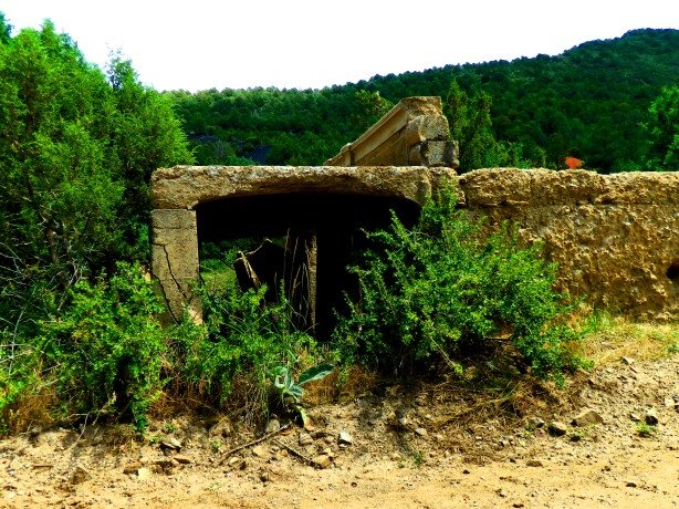
Twice in the past month, as part of the research I am doing for a book I’m writing, I have visited a secluded area of Douglas County, Colorado where the Confederate underground was known to have operated in the 1860s- An area where several buried caches of Civil War era arms and ammunition have been found through the years. I set out to search for any signs or evidence of these long-forgotten Confederate agents who smuggled weapons and supplies through Colorado Territory.
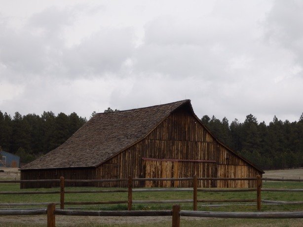
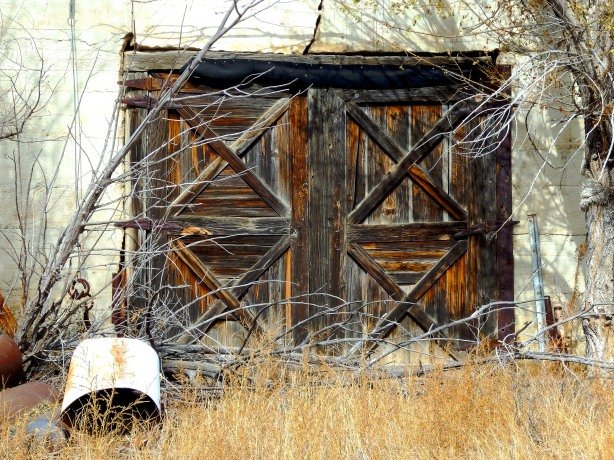
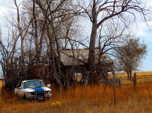
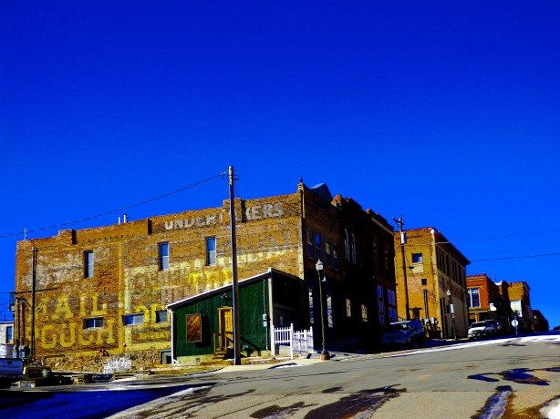
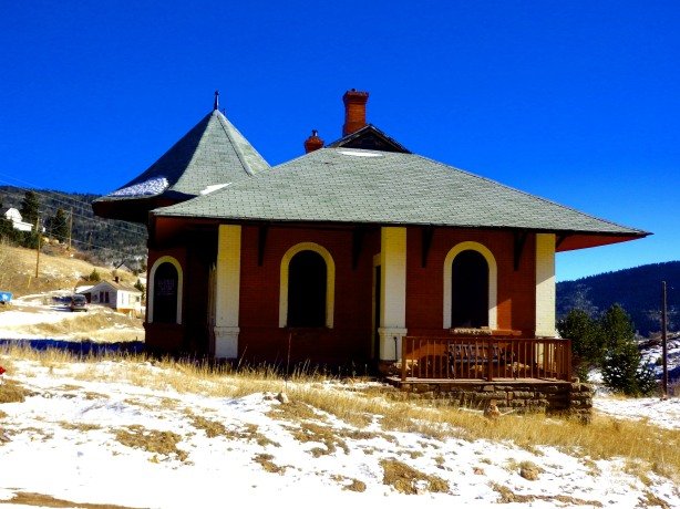
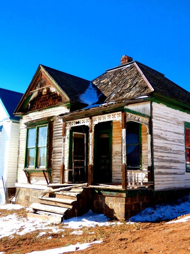
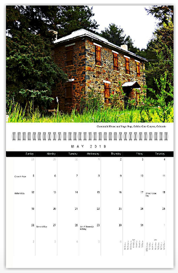
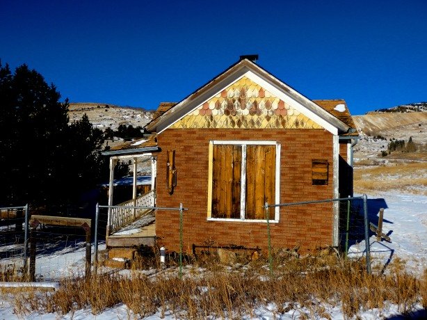
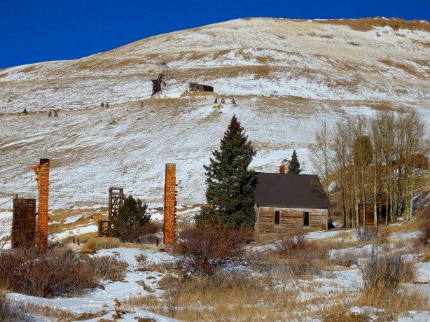
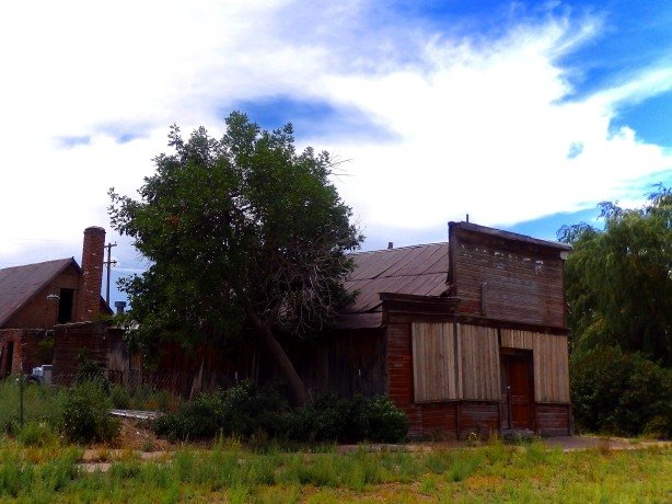
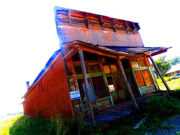
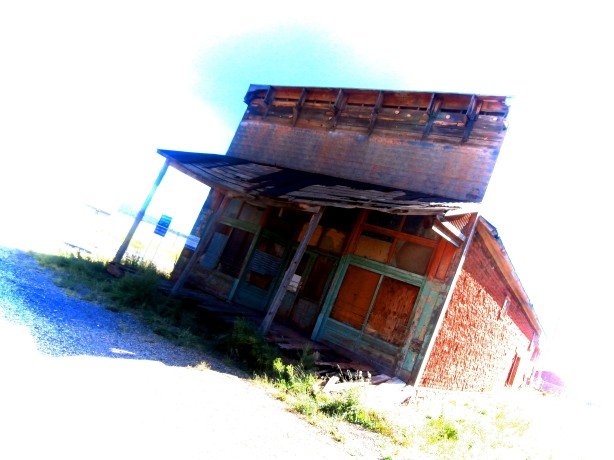
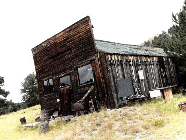
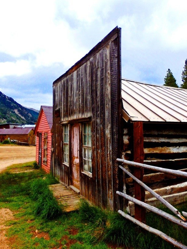
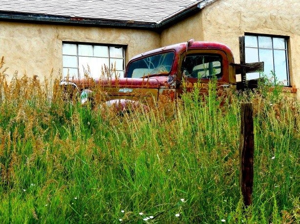
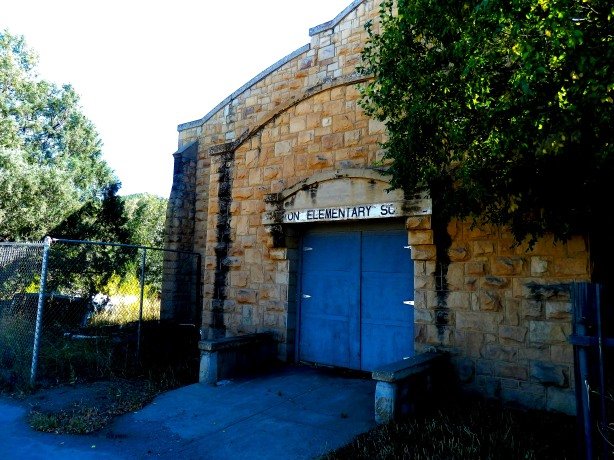
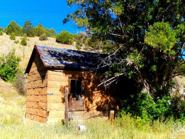
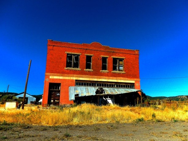
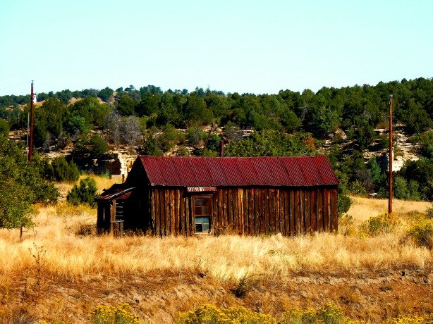
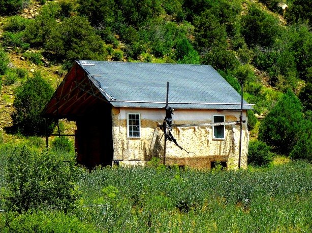
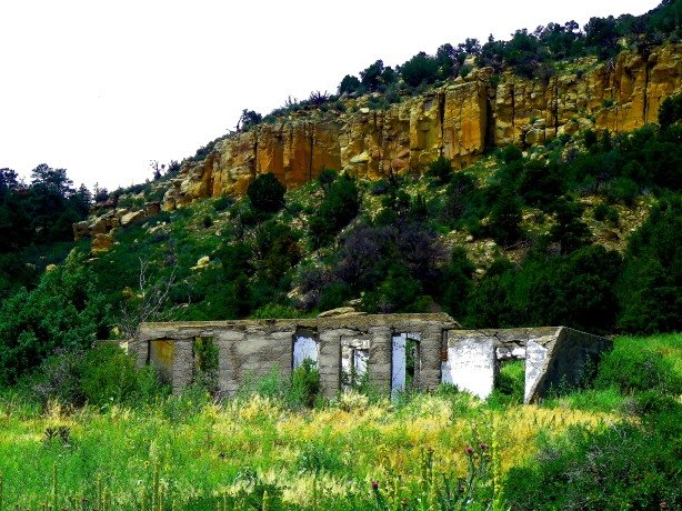
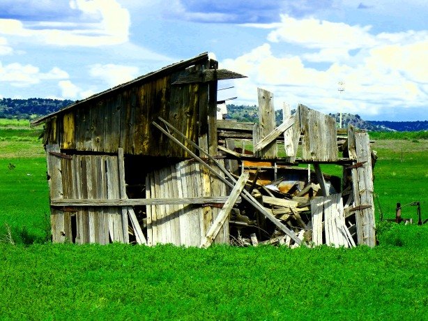
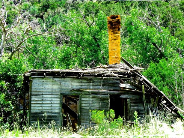
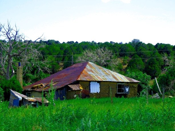
Old Stage barn constructed in 1861 in Douglas County, Colorado. The Confederate underground operated in the hills nearby throughout the Civil War.
Known as the Knights of the Golden Circle (KGC) the Confederate underground was a secretive, fraternal order loosely based on the Masons. Active throughout the southern states, and western territories in the waning years of the Civil War the KGC possessed a tremendous amount of wealth and influence. Many high ranking officers of the Confederacy were KGC members, and thousands of rank and file soldiers were initiates in the secret order as well. Among the most notable members of the KGC were Frank and Jesse James, William “Bloody Bill” Anderson, John Wilkes Booth, General Douglas H. Cooper, Colorado pioneer Alexander “Zan” Hicklin, James and John Reynolds (see my previous blogs regarding the Reynolds Gang in Colorado) would-be assassin Lewis Powell (Payne) and the well-known Freemason Albert Pike (who many believe founded the KGC.)
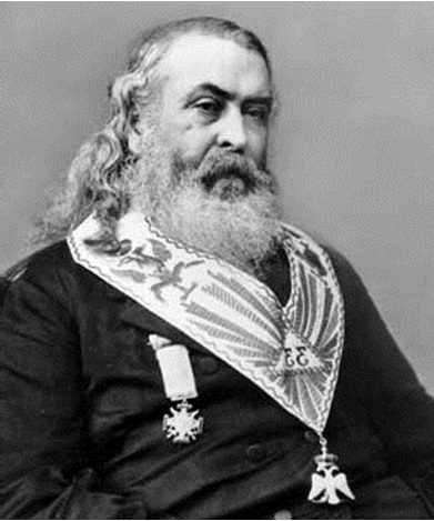
Famous Freemason Albert Pike, Thought to be the Founder of the KGC
The primary objective of the KGC was to accumulate wealth (aka gold and silver) and weapons by any means, which usually meant robbery, for use in a future “second” Civil War against the Union. Hidden in caches across the south and west, the KGC employed agents or “sentinels” that stood guard over the buried treasure for many decades. Dating back to the days leading up to the Civil War, KGC initiates used a series of “grips” or hand signals to indicate their membership in the order- To the casual bystander, the “grips” wouldn’t seem unusual, but to a fellow KGC member they would be easily recognized.
Four famous members of the KGC demonstrating one of the Orders’ “secret” grips-
The right hand grasping or tucked inside the lapel.
Left to Right- “Bloody Bill” Anderson, Jesse and Frank James, John Wilkes Booth.
William “Bloody Bill” AndersonJesse and Frank JamesJohn Wilkes Booth
KGC initiate Lewis Powell (Also Known as Lewis Payne) attempted to kill Secretary of State William Seward on April 14, 1865. These photos taken after his arrest show him giving what former members of the KGC confirmed were secret “grips” of the order.
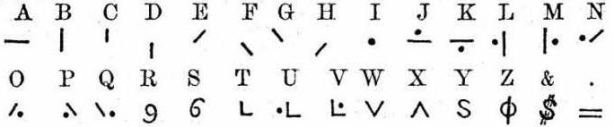
Also employed by the KGC in their nefarious activities was a secret alphabet or code, and messages would be carved in trees, rocks, or passed between members on scraps of paper. A first hand account given by a ranch hand of Alexander “Zan” Hicklin of a guerrilla traversing Colorado Territory bound for Confederate lines in New Mexico in 1862 states:
“Hicklin was suspicious of the man at first. I saw him hand Hicklin a scrap of paper covered in symbols and scribbles. Hicklin then eased and provided the man with food and provisions for his journey.”
It is clear the “…scrap of paper covered in symbols and scribbles…” was a message in the KGC code vouching for the wayward guerrilla.
Key to the KGC Secret Code
The KGC was a very real, very powerful order which lasted well into the 20th Century. Reports of second and third generation KGC sentinels standing vigil at burial sites persisted until the 1930s! In the late 1800s and early 1900s numerous cases of confrontations and even shootings at the hands of mysterious armed men deep in forests have been attributed to KGC sentinels watching over their loot. Around the outbreak of WWII, suspected KGC activity seemed to disappear.
KGC cache sites were marked with a series of nondescript signs- Treasure hunters have spent years deciphering the signs of the KGC and documenting anomalies found at known KGC cache sites. A common series of markers used by the KGC, which would go unnoticed by the casual passerby, has been documented-
“Hoot Owls”– Trees which have been deformed, grafted or otherwise “engineered” into unnatural shapes are the most common KGC marker. “Twin” “Triplet” or unusual clusters of trees the exact same height and age also indicate KGC activity, as they were purposely arranged in such a fashion.
Examples of KGC “Hoot Owls” found at cache burial sites in the south/west.
2. Rock Carvings– Some complex, such as those using the KGC code or symbols-pyramids, eyes, numbers, etc. Other carvings were as simple as a cross or a series of holes bored into the rock.
Examples of known/suspected KGC rock carvings (complex)
Examples of suspected KGC rock carvings (simple)
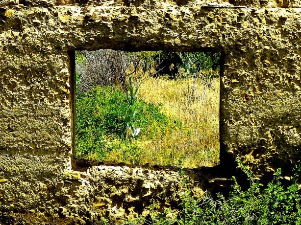
3. Marker Stones– A series of stones, often triangular or “arrowhead” shaped placed along the path to a cache, these stones would appear ordinary to most, but to a KGC agent, they would point the way to buried goods. Also used as marker stones were ordinary looking rocks that might not be of a type native or normally found in the area, for example quartz markers left in an area where there is only sandstone.
Examples of KGC marker stones from confirmed cache sites.
4) Burned out tree trunks and holes bored into tree trunks-The burned out stump was a popular KGC marker meaning “Buried cache in a hole nearby.”
(No photos available of “burned tree trunk/stump markers”- Information based on data and claims compiled/made by Military Historian Dr. Roy William Roush, Ph.D., in his book “Knights of the Golden Circle Treasure Signs”)
Using the known examples of KGC markers, I set out to find if any of these KGC markers were present at the Douglas County site- I didn’t expect to find much, but I was surprised at what I found, and I believe that a KGC cache once existed at the site, or still exists waiting to be discovered. My findings-
1. “Hoot Owls”– I stood on a small rise over the creek bottom I was investigating and scanned the treeline looking for anomalies- Anything that didn’t look right, any tree that wasn’t growing in a natural way. I found several examples of “Hoot Owls” over a one-mile stretch of creek bed, including a near perfect “arch” made by two trees bent inwards towards each other, and a “triplet” tree of nearly perfect proportions, both pictured below.
“Hoot Owls” found at the Douglas County, Colorado site- Including an “arch” and a nearly perfect “triplet”- Highly unusual for such a large concentration of “naturally” occurring anomalies to be present in an area of less than a mile. Also of note- Each of the trees was large/old enough to date to the Civil War era.
2. Rock Carvings– Across the one-mile stretch I investigated I found several rock carvings of the “simple” style- A “key”, a “cross”, two “eyes”, and series of stones with between one and four holes bored into them. There were tons of boulders and rocks in the area- Only about eight had carvings, and the stones bearing “eye” carvings all had a distinct depression or hole in the ground directly below the “eye”…former site of a buried cache???
Cross, key, and eye rock carvings found in Douglas County, Colorado.
“Eye” and simple hole pattern carvings at the site-
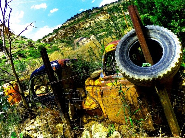
3. Marker Stones– Rocks that shouldn’t be there, or arrow shaped stones in unusual places. I found only one “arrow” shaped stone that was 110% out of place, sitting on top of a rounded, water worn boulder in the creek. An angular, pointy stone is very out of place in a creek bed. It was definitely put there by human hands- When? Who knows, maybe three days ago, maybe 150 years ago by a KGC agent. What was intriguing was the huge open hole in the rocks just beyond the “arrow” looked like a perfect spot to hide something.
“Arrow” marker stone and hole in the rocks behind it.
I also noticed red stones, all of a uniform size, placed at regular intervals along the creek. The stones were roughly fist sized, and unlike the native stones in the area. When I reached the near perfect triplet “Hoot Owl” tree, the trail of red stones stopped. I found no more for the next half-mile before I turned around and headed back.
Red marker stones found at regular intervals along the creek.
4. Burned Out Tree Trunk– I was not expecting to find a burned out tree trunk, but on a steep side slope of the tiny valley cut by the creek this old stump, clearly cut off by the hand of man many, many years ago caught my eye. It was so old that it was dry rotting and would crumble in your fingers, and the base had been hollowed out long ago by a fire. It was the only tree cut down by human hands on the whole hillside, and was located at a steep point next to a promontory rock that caught your eye. Directly across the creek from the burned out stump was the “Hoot Owl” arch mentioned previously.
Three views of the burnt out stump, and the “Hoot Owl” arch directly across the creek.
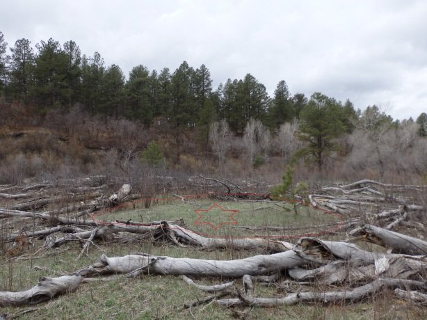
5. Strange circular clearing surrounded by very old felled timber- From the burnt out stump, I crossed the creek and walked through the “Hoot Owl” arch. On the other side of the “arch” was a large patch of felled timber, very old and gray with age, obviously having been down for many years. In the center of the felled timber was a nearly perfect circular patch, void of timber with the exception of one very young pine tree and short grass. I’ve seen similar circular patches in the Rockies where meteors fell, or at the site of dormant freshwater springs. This spot was similar, but the felled timber surrounding it seemed to be situated in a uniform depth of 6-8 logs which seemed unusual to me. Is this clearing the site of a forgotten KGC cache???
Circular clearing beyond the “Hoot Owl” arch.
Buried Confederate arms and ammunition have been found in this same vicinity of Douglas County in the past. Based on the evidence I found, I think that more waits to be discovered.